ST. GEORGE — With the Ironman 70.3 World Championship on the horizon, traffic impacts on race day and leading up to it aren’t far behind.
The Ironman competition will take place Sept. 18, with athletes and associated support expected to start arriving the week leading up to the Saturday race. Originally set for two days, the Ironman 70.3 World Championship was scaled back to a single day due to the pandemic-triggered travel restrictions that left several athletes unable to attend.
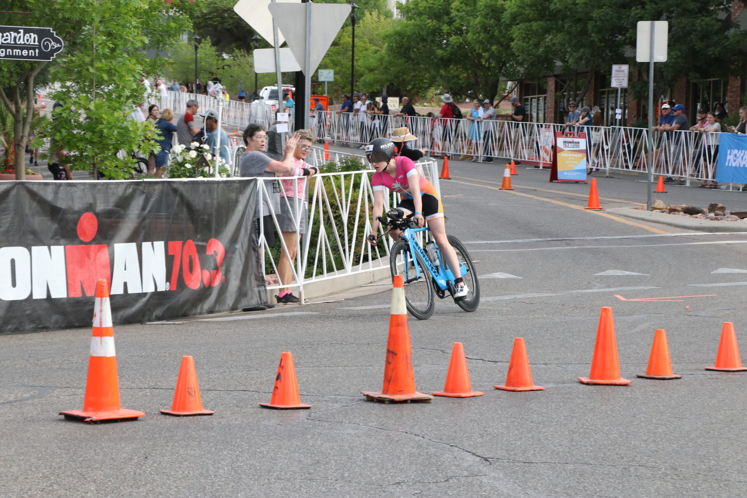
Road closures taking place Sept. 18 will be similar to those that occur during the annual May race through the county, and will run through part of Hurricane, Washington City, St. George, up state Route 18 and though Snow Canyon State Park, Ivins and Santa Clara.
Marc Mortensen, support services director for St. George, said the city has worked closely with its neighbors, Washington County and the Ironman Group over the last 18 months – sometimes on a daily basis – to make sure the event runs without a hitch and traffic impacts for the day not to be overly disruptive.

“We anticipate things running rather smoothly that Saturday,” he said. “It will be impactful, but not impossible to get around.”
One tool the St. George Police Department has used to help people get around are signs posted by closed roads that have a QR code on them, Mortensen said. A motorist can pull over to the sign, scan the QR code into their phone and be taken to a page detailing a detour they can take.
“It’s worked very well,” he said.
An overview of the Ironman 70.3 World Championship course, road closures and detours, and an interactive map showing their locations, can be found on the Greater Zion website. This information is also shared below, courtesy of the Greater Zion Convention and Tourism Office.
Road closures may also begin as early as Sept. 14 in some areas. Race times may also be subject to changes depending on the progression of the participants.
The Ironman 70.3 race course
Swimming course | Cycling course | Running course

Road closures and impacts
Hurricane
On race day, the following areas will be impacted beginning at 4:30 a.m.:
- State Route 7
- State Route 9
- Dixie Springs
- 3000 South
Ivins and Santa Clara
On race day, the following areas will be impacted between the hours of 8:30 a.m. to 5 p.m.:
- Snow Canyon Parkway
- Snow Canyon State Park
St. George
Beginning Tuesday, Sept. 14, street closures will begin in St. George and will impact the following areas:
- Tabernacle from Main to 300 West.
- Main Street from 100 South to the Advenire hotel / Zions Bank entrance

On race day, the following areas will be impacted between the hours of 8:30 a.m. to 5 p.m.:
- Red Hills Parkway
- Snow Canyon Parkway
- Snow Canyon
- SR-18
- Bluff Street
- Diagonal Street
- Skyline Drive
- Main Street
- Tabernacle Street
On Sept. 18, the Dixie Round-up Parade will impact Tabernacle Street from Dixie State University to the Sun Bowl from 9:30-10:30 a.m.
Washington City
On race day, the following areas will be impacted between the hours of 8 a.m. to noon:
- Telegraph Street
- Washington Parkway
- Buena Vista Boulevard
- Main Street
- Green Spring Drive
Alternate routes

State Route 9
Motorists are encouraged to avoid SR-9 during the race on Sept. 18 from 6:30 a.m. to 12:15 p.m. Please use the following alternate routes:
Southbound I-15 | Use Exit 27 (Anderson Junction) toward Toquerville, LaVerkin, Hurricane, Springdale and Zion National Park on the east. Avoid Exit 16.
Northbound I-15 | Avoid Exit 16. Instead, continue north to Exit 27 (Anderson Junction) toward Toquerville, La Verkin, Hurricane, Springdale and Zion National Park on the east.
SR-9 from Springdale, Zion National Park | Avoid westbound SR-9 in Hurricane. Instead, use SR-17 north to access I-15.
SR-9 from Hurricane | Avoid westbound SR-9. Instead, use SR-9 east to SR-17 north to access I-15.
SR-59 from Apple Valley, Hildale, Colorado City | Avoid westbound SR-9 in Hurricane. Instead, use SR-9 east to SR-17 north to access I-15.
Stare Route 7 (Southern Corridor)

SR-7 will be closed in both directions from Sand Hollow Road to the SR-9 interchange with no vehicle access from 7-11:30 a.m. Please consider the following alternate routes:
Hurricane to St. George Area | SR-7 is closed in both directions from Sand Hollow Road to the SR-9 interchange. SR-9 has only one lane of traffic in both directions. Avoid westbound SR-9 in Hurricane. Instead, use SR-17 north to access I-15.
St. George to Hurricane, LaVerkin, Springdale, Zion National Park | Avoid eastbound SR-7 after Washington Dam Road. Use I-15 northbound to Exit 27 (Anderson Junction) toward Toquerville, LaVerkin, Hurricane, Springdale and Zion National Park on the east.
State Route 18
Motorists are encouraged to avoid SR-18 between St. George and Dammeron Valley during the race on Sept. 18, from 8 a.m. to 3:30 p.m. SR-18 will use a pilot car system with alternating traffic flow between 5745 North and the Snow Canyon Parkway entry/exit. Expect delays.
Additional detours will be encountered as vehicles enter St. George. Please consider the following alternate routes:
Southbound | At Veyo, turn onto West Center Street/Gunlock Drive and follow Gunlock Drive to Santa Clara/St. George.
Southbound for large trucks | From Enterprise, use SR-18 eastbound toward Cedar City/I-15.
Northbound | From St. George, use Sunset Blvd toward Highway 91/Gunlock Drive to Veyo.
Northbound for large trucks | From St. George, use I-15 to Cedar City before heading west on SR-18.
Copyright St. George News, SaintGeorgeUtah.com LLC, 2021, all rights reserved.