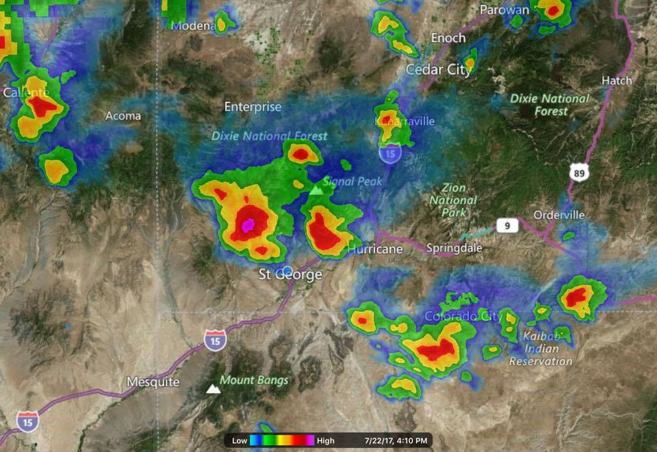
ST. GEORGE — A hazardous weather outlook issued by the National Weather Service in Salt Lake City warns of heavy rain and flash flooding threatening areas near the Utah-Arizona border.
Affected area
The hazardous weather outlook affects the western two-thirds of Utah.
Regionally affected areas include west-central Utah, southwest Utah, Utah’s Dixie, Zion National Park, south-central Utah, Glen Canyon Recreation Area, Lake Powell and central and southern mountains.
Timing
Isolated to widely scattered showers and thunderstorms will form over the southern half of Utah Saturday evening into the night, with a threat of heavy rain and isolated flash flooding near the Arizona border.
There will be a threat of heavy rain and isolated flash flooding along the Southern Utah border again Sunday afternoon. The rest of the outlook area will be drier with fewer thunderstorms, mainly over the mountains.
Thunderstorms are forecast to be widespread across the outlook area again Monday through Wednesday with an increasing chance of heavy rain and associated flash flooding.
Flash flooding, debris flows

“Turn around, don’t drown” when encountering flooded roads. Most flood deaths occur in vehicles.
Remain alert for flooding even in locations not receiving rain. Dry washes, streams and rivers can become flooded with raging killer currents in a matter of minutes, even from distant rainfall.
People in the warning area are advised move to higher ground immediately. Residents living along streams and creeks should take immediate precautions to protect life and property.
If a debris flow has occurred, it is important to realize that the runout area remains very dangerous. Additional debris flows may occur within minutes of the original flow. Remain vigilant and be prepared to take swift action.
Resources
Email: [email protected]
Twitter: @STGnews
Copyright St. George News, SaintGeorgeUtah.com LLC, 2017, all rights reserved.