ST. GEORGE – A new app released by the Bureau of Land Management-Utah and American Conservation Experience will allow citizen scientists to help land managers monitor wilderness study areas in Utah.
The app, which is only available in Utah, so far has modules to cover nine of the 86 wilderness study areas in the state including Spring Creek Canyon, which borders Zion National Park and can be accessed by a trailhead in Kanarraville.
“BLM-Utah is incredibly excited about the potential for the WildSNAP app to engage a new generation of citizens in the stewardship of public lands,” Aaron Curtis of American Conservation Experience said.
“WildSNAP brings the past and the present together. Wilderness Study Areas protect some of America’s most pristine and primitive landscapes, while this new mobile monitoring app brings monitoring into the 21st century.”
The new iOS application, WildSNAP, is available for download through Apple’s App Store.
The public is invited to help monitor wilderness study areas and enjoy the new opportunity to participate in the care of public lands, BLM Utah spokeswoman Kimberly Finch said in a statement.
Wilderness study areas are designated by Congress, and BLM is required to manage the areas in a way which would not prevent them from being designated as wilderness.
A wilderness study area designation remains in place until Congress either releases the area or designates it as wilderness.
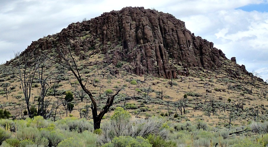
Other study areas include White Rock Range, which straddles Beaver and Iron counties in Utah and Lincoln County, Nevada; along with Wah Wah Mountains study area, which is located in Beaver County.
Other areas include the White Rock Range Wilderness Study Area located more than 50 miles west of Cedar City, Utah.
“The WildSNAP app packages the traditional approach of using a stack of paper, pen, camera, resource guides, compass and maps into a single, cleanly packaged and user-friendly interface. This new app technology will make field data collection more useful and efficient. WildSNAP is a one stop shop for WSA monitoring,” American Conservation Experience director of technology Tim England said.
The app allows users to collect information about natural and cultural resources within the study areas and will be available to members of the public who complete the required online training, Finch said. So far, the app is only available for Apple iPads, but will soon be available for iPhones.
Members of the public that collect data through the app are considered “citizen scientists” and greatly enhance the BLM’s monitoring efforts on public land, Finch said.
Data collected through the app is sent to the local BLM office, and once verified by BLM staff, becomes part of the official file. The BLM will review the information to determine whether any responses are appropriate when issues are discovered.
So far, specific guides for nine wilderness study areas are available in the app: Crack Canyon, Mexican Mountain, San Rafael Reef, Sids Mountain, Deep Creek Mountains, North Stansbury Mountains, Spring Creek Canyon, Wah Wah Mountains and White Rock Range. Additional monitoring guides will be released on a rolling basis.
American Conservation Experience is a non-profit organization which aims to provide rewarding environmental service opportunities to help restore America’s public lands.
For more information, see www.wildSNAP.org or contact Peter Woodruff, American Conservation Experience Program Manager at [email protected]; or Allison Ginn, BLM-Utah National Conservation Lands Program Lead at [email protected].
Editor’s note: Corrected location of Spring Creek Canyon.
Email: [email protected]
Twitter: @STGnews
Copyright St. George News, SaintGeorgeUtah.com LLC, 2017, all rights reserved.
Great idea, although the kinks need straightening.
• One can only download it after taking training.
• The training link leads to nowhere
I look forward to when more people can get trained and use the app to generate a larger monitoring system for our great outdoors.
glennkirk