UTAH – The National Weather Service out of Salt Lake City has issued a “Hazardous Weather Outlook” for the western two-thirds of Utah and southwest Wyoming.
Day one – Sunday
Gusty winds and low relative humidities will produce critical fire weather conditions over extreme southwest Wyoming Sunday afternoon and evening.
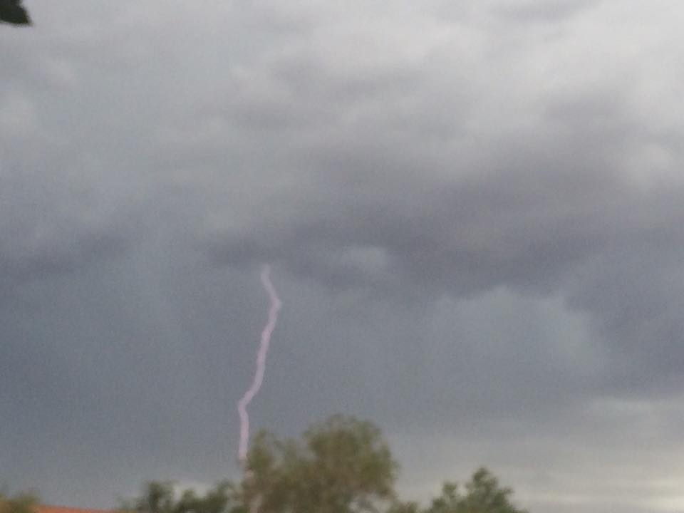
Moisture spreading north into Southern Utah Sunday afternoon brings scattered showers and thunderstorms to southwest Utah with shower and thunderstorm activity spreading north into central Utah overnight.
The leading edge of this moisture may support thunderstorms with little rainfall but dry microburst winds and lightning, increasing the threat of critical fire weather conditions for a brief period this evening into the overnight hours.
Days two-through seven – Monday through Saturday
Unsettled weather will continue across much of the outlook area through midweek.
The best chance for significant rainfall will exist across western and northern Utah Tuesday, then mainly over northern Utah and southwest Wyoming Tuesday night through Wednesday.
Affected areas
The “Hazardous Weather Outlook” includes the following areas, among others:
Cache Valley/Utah portion; northern Wasatch Front; Salt Lake and Tooele Valleys; southern Wasatch Front; Great Salt Lake Desert and mountains; Wasatch Mountain Valleys; Wasatch Mountains Interstate 80 north; Wasatch Mountains south of I-80; western Uinta Mountains; Wasatch Plateau/Book Cliffs; western Uinta Basin; Castle Country; San Rafael Swell; Sanpete/Sevier Valleys; west-central Utah; southwest Utah including Utah’s Dixie and Zion National Park; south central Utah; Glen Canyon Recreation Area/Lake Powell; central and southern mountains in Utah; and southwest Wyoming.
Related posts
- Thunderstorms bring rainbows, waterfalls, rainy day playtime; STGnews Photo Gallery
- ADOT begins repairs along US 89A following House Rock Flood
- Up the flood with a paddle; STGnews Videocast, Drone Footage
Email: [email protected]
Twitter: @STGnews